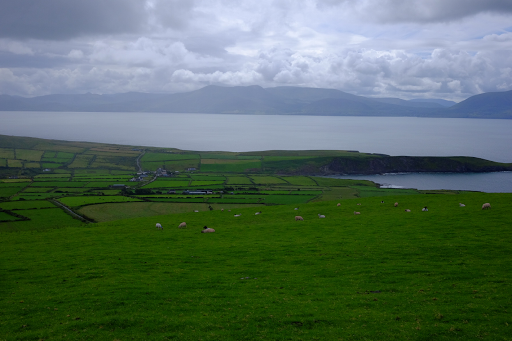
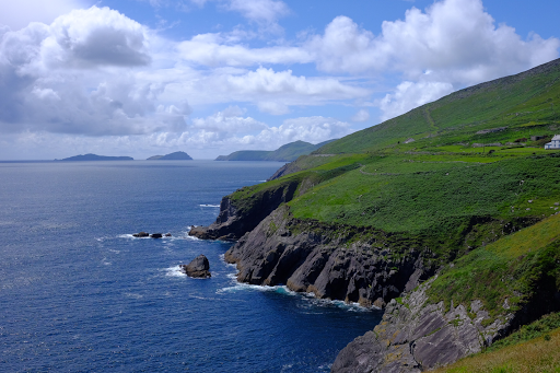
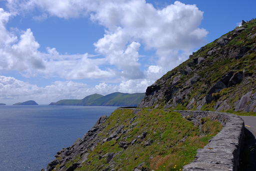
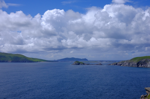
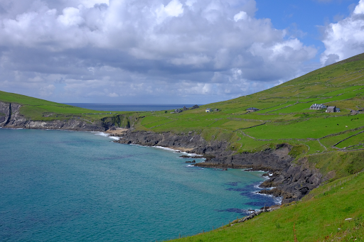
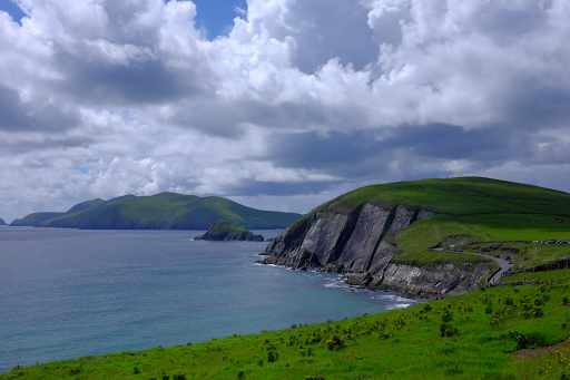
It seems that many residents of Northern Ireland, or Norn Iron in local parlance, flee to Dingle during marching week, or so it seemed based on our sighting of car registration plates and all the Northern Irish accents we heard on this day. Not that I blame them. The outer part of the Dingle Peninsula, Slea Head, is particularly stunning, and well worth the journey. But the amount of traffic and congestion on the way to and in Dingle town was off the charts busy.
It was quite the contrast to our previous visit to Dingle, touring on the tandem in November of 1993. I swear when we arrived on that chilly day in November in search of a hot meal, the entire town was closed! Not so today. Dingle town was bustling, full of shops, cafes and tourists!
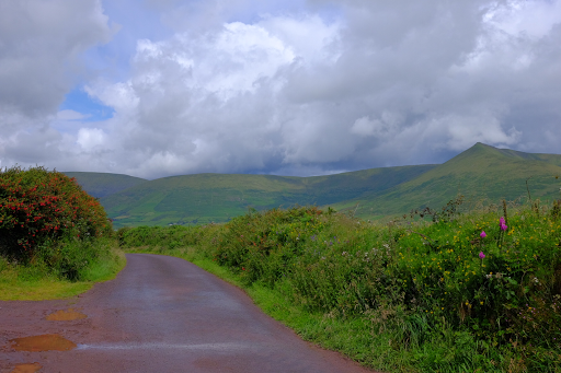
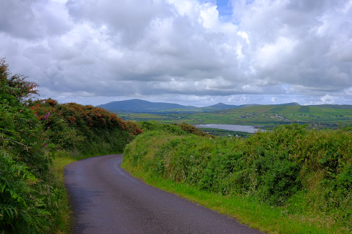
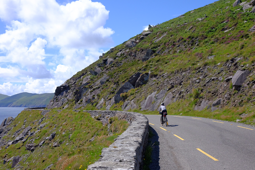
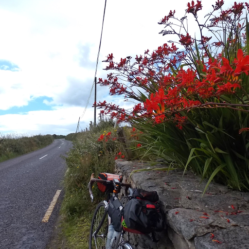
We started out from Castlemaine on the main road, but soon found the traffic was just too insane, so we pulled out the iPad, which we were using for maps and found a few "white" roads to follow. On previous tours, we have practically had to dedicate a whole pannier to maps, but this time we were using a combination of my tiny iPad mini, ridewithgps and Wahoo Elemnt GPS devices. If our planned route needed to be changed, we could consult the maps on the iPad, or even plot a new route for major changes and download that to the GPS. So we pulled off the main road and checked the map on the iPad. We found a series of smaller roads that paralleled the main route, and did the pre-technology thing of remembering turns: second right, next left, next left. This is how we used to do it with paper maps - acoustic versus electric navigation. Once on the quiet roads, both of us were quickly reminded of what touring in Ireland is all about!
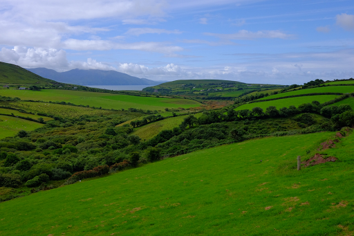
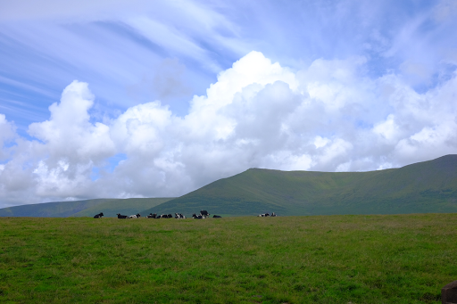
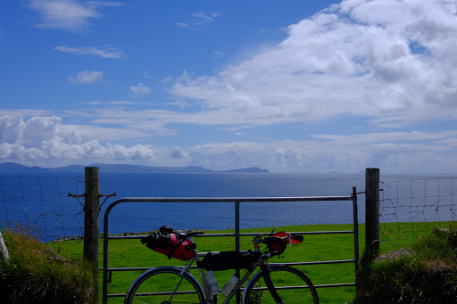
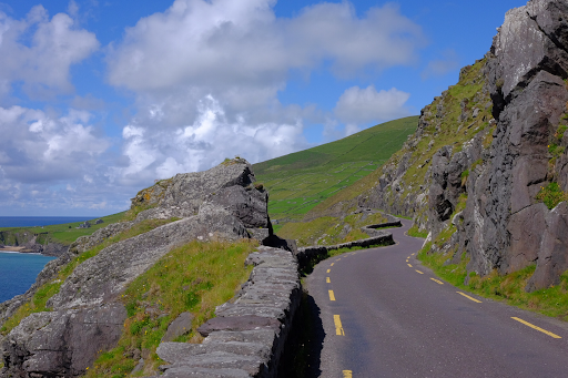
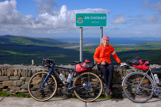
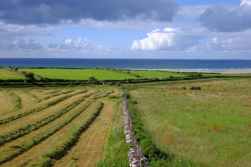
The day was spectacular with lots of blue sky and big fluffy clouds. So there were lots of photo stops.
No comments:
Post a Comment
test