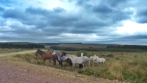
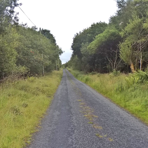
I've mentioned my routing strategy a few times. I use ridewithgps and the OSM Cycle maps. The OSM maps are great because the busy roads are clearly marked and one can put together an amazing and quiet route simply by connecting the white roads or lanes. With no real local knowledge I've been able to put together great routes. I've had exactly one dead end, where the map showed a through road. I've found a couple of gravel and dirt roads, and some roads that local cyclists don't even know. I had quite a few times in Donegal where I was certain I had just turned into someone's driveway, but the road was indeed a through road.
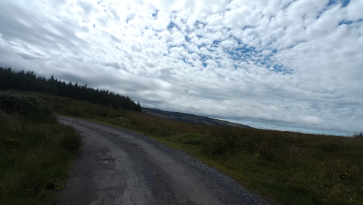
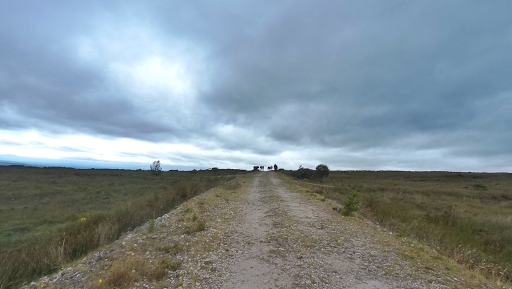
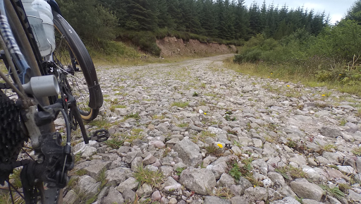
Well, my luck didn't run out, but I did find a few gravel and rocky forest roads on this day. It was the only time I really thought about issues of traveling alone. If I crash on this descent, no one will ever find my bones! So I picked my way down a couple of gnarly rocky trails. (John was tracking me with the Wahoo live track feature and find my iPhone, so he could at least tell emergency services where to start the search for bones.)
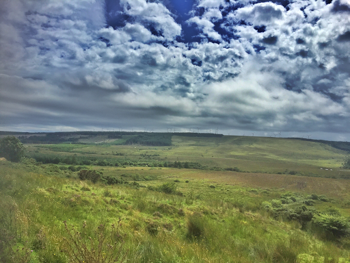
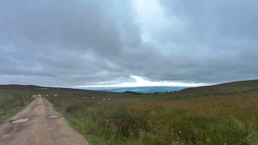
Despite the rough surfaces, this was one of my best days. And one worthy of my Honey Allroads bike. So if you are looking at my routes on ridewithgps and thinking of following my tracks, just bring fat tires and disk brakes for this one. And food. There are NO services. Fortunately I'd stopped at that great restaurant in Athenry and stocked up withn muffins for the day.
One friend described this as immature gravel!
No comments:
Post a Comment
test