Well yes. I was. But we will get to that...
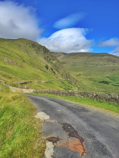
First, I had to climb over Sheefry Pass into Westport. I've now done this climb three times. We did it twice in 2013 and I remember loving it so much that I did it a third time instead of the coast road. One of these days. I must do the coast road. I'm sure it's gorgeous.
After descending into Westport, I hugged the coast and then picked up the Great Western Greenway. When friends had asked about this bike path recently, my brother in law warned them off, saying it had loads of road crossings, with the cyclist not having priority. Well I'm glad I ignored him. Sure if you are doing a time trial, it might be annoying to have to stop at all the side roads or deal with gates. But for the touring cyclist, it is such a pleasant way to get to Achill, even on a busy sunny day, when loads of families on rental bikes are also making the trek,.
The problem happened when my GPS route left the greenway before the end. I saw a sign up ahead with maps and info so I rolled along further to check it out. When I left the path, my GPS had arrows going to the right, and I followed.
Big hills were off to both sides, so I didn't suspect anything. But then I popped out on a main road and saw a sign that indicated the closest civilization was 7km to the left. My GPS was saying go that way, so I did. But then when I reached the town, another sign said Belmullet was 30 km away. I was hungry and thirsty and went into the shop for food before sitting down to check maps.
I got a new GPS for this trip. John has been using the Wahoo Elemnt for a while and has nothing but praise for it. The big selling point for me was wireless integration with ridewithgps. The wireless feature meant that I could leave the laptop at home and just use my tiny iPad for mapping. The Garmin devices with wireless capability insist one use Garmin Connect. I'd had no luck bringing rwgps routes into Garmin Connect and didn't like their route planning software. So the Wahoo was a big win there. The only problem is the Elemnt is still very new and has some missing features that are really useful when touring, the most critical of which is panning. You can zoom in and out, but you can't pan. It also doesn't cope well with overlap, especially if you get off course.
Now if you aren't driven by hunger, this may not be an issue.
But when I went to read the sign on the greenway, I got on an overlapping section of the route and the device decided I had done the island, so I should go north.
By the time I realized my mistake I was 30 tailwind enhanced kilometers beyond the island. Then I made it worse by letting hunger cloud my judgement and continued to Belmullet.
I sent John a text saying what I'd done. He told me I must go back and that his brothers and sisters agreed. Achill was not to be missed.
The route below is now corrected, so one can't make that mistake!
Stay tuned for Achill tomorrow.
The descent off Sheefry Pass is swoopy and fun.
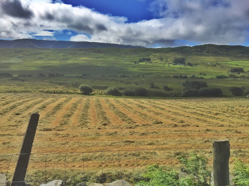
Crough Patrick has its head in the clouds.


Clearing on the mountain.
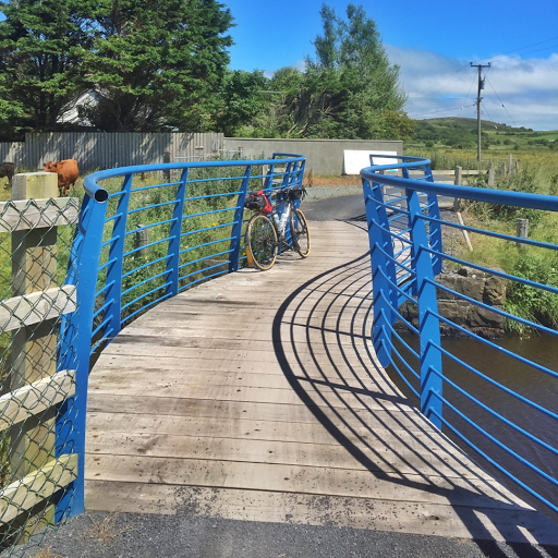
The Great Western Greenway has some artsy bridges
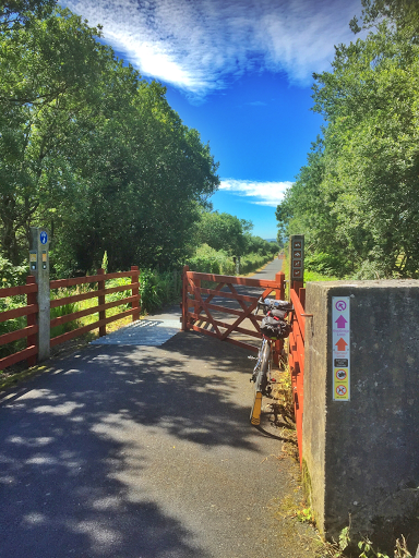
And cattle guards, which can be ridden across at low speed
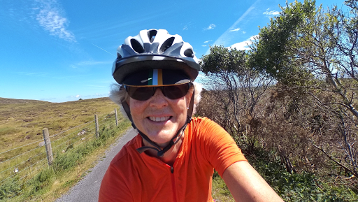
I promised no more forever butt shots, but I'll also try to limit selfies too.
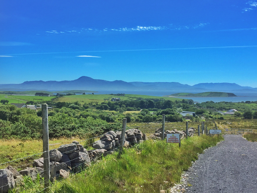

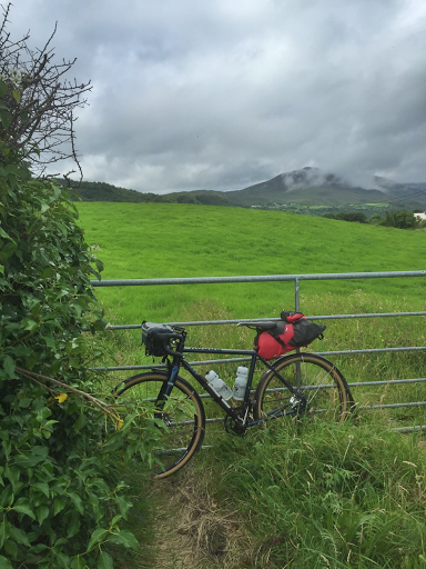
This is not an island road!
Tomorrow back to Achill!
No comments:
Post a Comment
test