Pyrenees
September 14, 2024
Organya to la Poblà de Segur
We had a lovely stay in the bungalow at the campground in Organya. After our experience on the remote section yesterday, and heeding advice from other cyclists about traffic in and around Andorra, we decided to change plans for the remainder of the tour. Between OSM cycle maps and Gaia maps, we knew we could find quiet roads. We planned to continue west to Pantá de Sant Antoni reservoir and up to Senterada before completely diverting from the original route. I mapped out a long route, which would give us the option to find accommodation along the way, versus booking ahead with a set destination. This allows us to stop when we see something enticing or simply to change plans because some road looks interesting. I did not bring my iPad this time, but have been able to do all the mapping on my phone. If we change plans midday, I do have to stop the recording on the Garmin, download the new route and restart recording, but otherwise it's been easy enough to change plans. We do find having a gps route essential for John to be able to stop and take photos, or ride ahead and take photos, without fear of getting hopelessly separated.
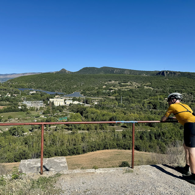
We left town on a busier road, but soon got onto a quiet climb. Our change of plans from gravel to quiet pavement did not have any effect on views. They continued to be spectacular. The climbs were still long and hard. Through out the trip, 20km long climbs were not uncommon. We rarely saw much in the way of cars. It is truly hard to go wrong in this area.
We saw selfie stands at several of the roadside parks on cols!
I even managed to find gravel. There was a great gravel bike path beside the reservoir.


.jpeg)


Wow, what gorgeous views and lovely quiet roads for cycling. I especially love the zebras stencilled onto the road...what a unique idea!
ReplyDelete